Nevada City Seeks Input on Walking and Biking
Survey and November workshop will help set street and trail priorities.
2 min read
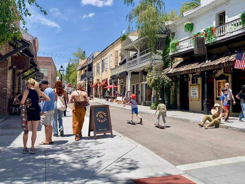
Pedestrians and skateboarders in downtown Nevada City.
City of Nevada City
NEVADA CITY – Nevada City is asking residents, workers, and visitors where walking routes, bikeways, and trails need better connections as it develops an Active Transportation and Trails Plan.
An online survey is open through November 24. The city will also hold a community workshop Thursday, November 12, from 4:30 to 6:15 PM at the Miners Foundry Cultural Center, 325 Spring Street, where participants can discuss their experiences and help identify priorities.
The survey asks how people travel today, how they would like to travel if routes were safer and more convenient, and what gets in the way. Respondents can identify obstacles such as disconnected sidewalks, difficult crossings, vehicle speeds, steep hills, and maintenance problems.
It also asks about choices over street space: whether, where appropriate, respondents would support narrowing vehicle lanes or removing some street parking to make room for sidewalks, bicycle lanes, and other walking and biking improvements. Another question asks whether centralized parking would encourage more use of trails, walkways, and bikeways.
People can rank priorities including routes to schools and parks, access to transit, trail connections, accessibility, and maintenance. The questionnaire welcomes people who live outside city limits, including nearby communities such as Grass Valley and Penn Valley, as well as those who work, study, own businesses, or visit Nevada City.
Nevada City is working with Alta Planning + Design to identify gaps and develop a ranked list of improvements. The work will consider how to accommodate walking, bicycling, and mobility devices on the city’s narrow streets and steep terrain while preserving historic character and emergency access.
The plan’s reach includes connections to surrounding neighborhoods, Grass Valley, regional trails, and transit stops. The city specifically identifies Highways 49 and 20 as barriers it will examine. Children, older adults, and people using wheelchairs or other mobility devices are among the groups whose needs the plan will consider.
The planning effort has a $323,135 award listed in Caltrans’ 2025–26 Sustainable Transportation Planning Grant program. A May 27 presentation to the City Council put the total planning budget at $365,000, including a $41,865 local match. The work will produce project concepts, estimated costs, and potential funding sources to guide future improvements.