CDFW Releases Gray Wolf Mapping System
CDFW launches a tool for tracking gray wolves, aiding ranchers in preventing livestock conflicts.
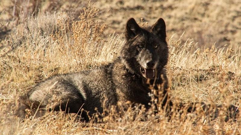
Image of a gray wolf shared by the California Department of Fish and Wildlife.
CALIFORNIA — This month, the California Department of Fish and Wildlife (CDFW) released an online tool allowing the public to monitor the location and movements of the state’s various monitored gray wolf packs. CDFW says the tool could be used to “better enable livestock producers to understand the movement of collared wolves near their properties and to assist them in mitigating wolf-livestock conflicts.”
The locations of collared wolves are collected several times daily and transmitted to CDFW most mornings. Though the tool provides insight into the whereabouts of a subset of wolves, only 14 wolves in the state have GPS collars. Not all of those wolves are visible at one time on the map – upon accessing the map on Tuesday, May 27th, at 11 AM, the locations of only nine wolves could be seen, corresponding with five wolf packs. Additionally, only a generalized location is provided to protect the population, which remains classified as an endangered species.
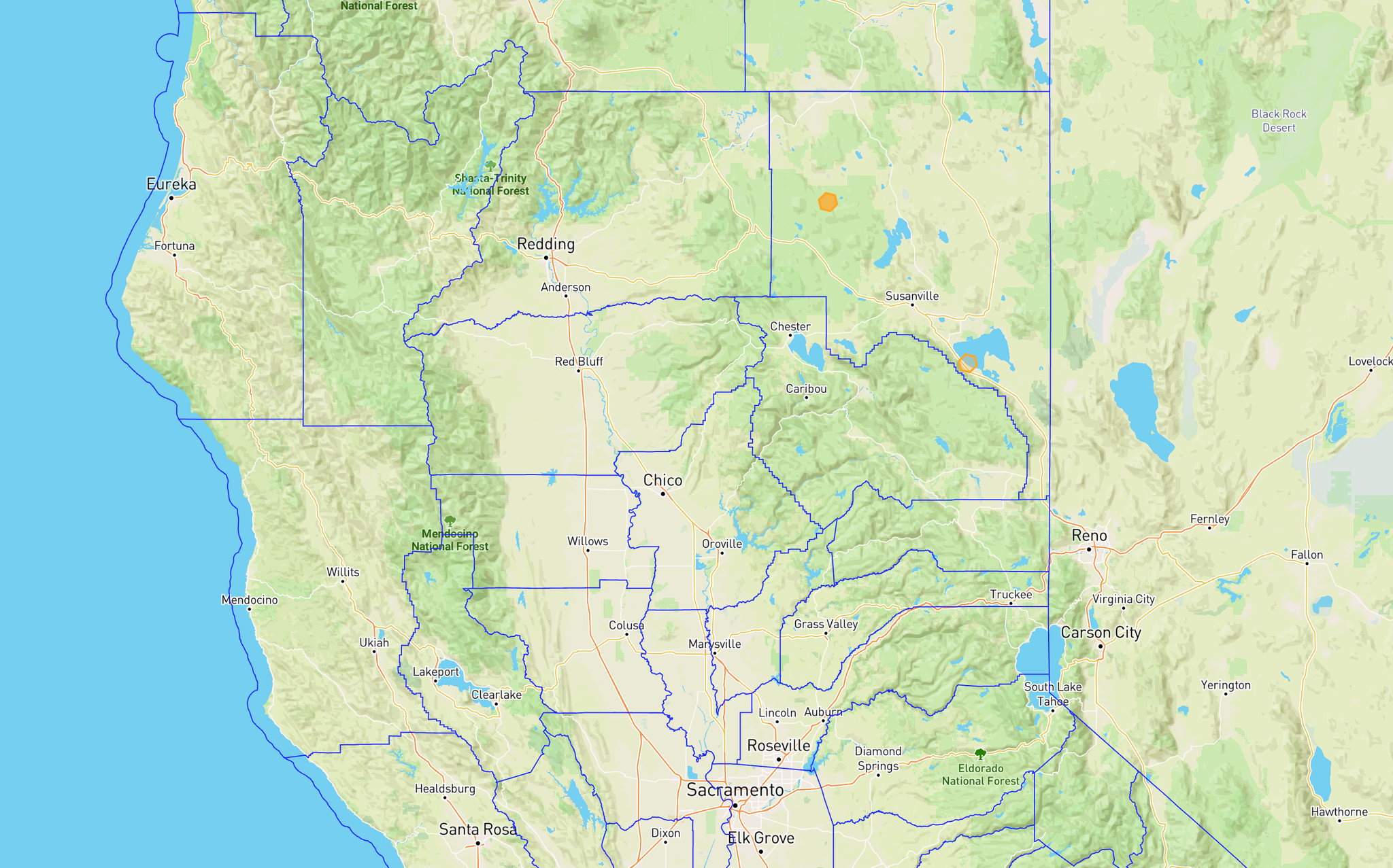
On Tuesday, CDFW’s tracking tool showed no wolves in Plumas or Sierra Counties. However, members of two wolf packs are shown to be in Lassen County.
“California’s rural livestock producers living near wolves have faced real challenges as the wolf population grows in California. This is one more tool in our shared toolkit to protect their herds from wolf-livestock conflict,” said Charlton H. Bonham, CDFW Director, in a May 15th press release. “CDFW is focused on transparency, best practices, and ensuring impacted communities have the knowledge they need to help prevent conflict. We will continue to partner with ranchers and communities to navigate a positive path forward.”
Members of the ranching community have also applauded the increased transparency. “Knowing where California’s collared wolf population is means that ranchers have access to critical information,” said California Farm Bureau President Shannon Douglass. “We appreciate CDFW’s focus on transparency to help farmers and ranchers navigate the growing number of wolves in the state.”
“As wolves increase in number and range, California ranchers are in dire need of additional tools to protect the animals under their care. Knowledge is power, and this mapping tool will empower ranchers throughout wolf territory to better understand where wolves might threaten their livestock, enabling them to increase human presence and adjust their herd management as necessary to deter wolf attacks,” said Kirk Wilbur, Vice President of Government Affairs, California Cattlemen’s Association. “CCA appreciates the Department’s communication and transparency, which we hope will ease the burdens borne by cattle ranchers who steward California’s wolf habitat.”
Wolf predation remains a rapidly growing issue on Plumas County ranches, and there has been at least one confirmed attack on livestock by a wolf in Sierra County, according to Sierra County Sheriff Mike Fisher. Fisher and the Sierra County Sheriff’s Office have dealt with numerous reports of wolf attacks on Sierra Valley ranches, and both Sierra and Plumas Counties have declared states of emergency concerning the issue.
CDFW’s map is available at https://wildlife.ca.gov/Conservation/Mammals/Gray-Wolf/Location-Map. Notably, no wolves in Plumas or Sierra counties were tracked on the map during The Messenger’s access on Tuesday.