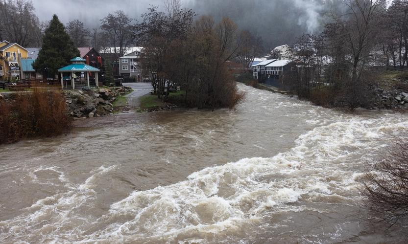
If you feel deja vu after this week’s latest wave of storms, you are certainly not alone. Teased by a couple of days of sunshine, winter reminded us that it's not done with us yet. No one could be more tired and ready for sunny days than the folks in CalTrans, Public Works, and the Sheriff’s Department, who have worked almost nonstop. Behind the scenes, they have been battling a significant problem for weeks, Google Maps. As we know, as soon as I-80 shuts down, streams of drivers obediently following their GPS maps turn off and head up CA-49. Learning from last year when dozens of cars got stranded in Downieville, the Sheriff’s Office and CalTrans worked quickly to shut down CA-49 in Camptonville at Marysville Road and on the east side at Sattley when I-80 was closed. Despite this effort to close roads and turn people back, Google Maps kept finding every forest and mountain road as a possibility to get north on CA-49 in the map game of “Whack- A-Mole.” Google Maps routed nearly 100 cars from North San Juan on Ridge Road into Forest City and down Mountain House to Downieville and beyond. If people made it to Downieville, they were stopped again, but the maps would tell them to head up Galloway Road, and then take Henness Pass Road to Truckee. This situation created massive problems and a financial burden for the county. The county and CalTrans worked with Google to fix this issue and get these routes shut down. Then for the past two weeks, they confronted a new problem. Google Maps had a road closure on the entire stretch of 49 from Camptonville to Downieville saying “Road Closed Until Late May.” Innkeepers and businesses were noticing that cars were not coming through and even deliveries were sometimes not being made as drivers were being routed to Truckee and back down 49. After countless calls, emails, screenshots, and online complaints, it seemed difficult to solve, but there is good news. Director of Transportation, Bryan Davey confirmed they finally found an avenue to reach the right people at Google and get the problem fixed. It was only happening if you used Google Maps on an Android, not if you used the iPhone Apple Maps application. Davey contacted his connections at the state Office of Emergency Services (OES), and they worked with their business operations branch to resolve the problem with Google. Thanks to the coordinated efforts of the Sheriff’s Office, CalTrans, Public Works, OES, and dozens of community residents we have won the latest round of whack-a-mole. Another lesson on the wonders of internet navigation. If a map tells you to get off a highway and take a gravel or dirt road, maybe you should think twice.
Featured Articles

Storms Bring Heavy Rainfall and Local Disruptions →
December 22, 2025
Sierra County faces power outages and water issues amid heavy rainfall and storm warnings.
215 Animals Seized for Cruelty from Grass Valley Property →
December 22, 2025
Human Remains Found Near South Yuba Bridge in March Identified →
December 17, 2025
Transfer Station Burn Suspended After Community Concerns →
December 16, 2025
Sierra Hardware Plans Extensive Repairs After Flood Damage →
December 8, 2025
