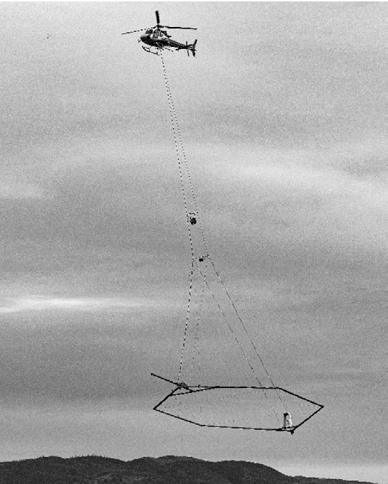
(Beckwourth) - Starting at some point in late April or early May, the California Department of Water Resources will be conducting an airborne geophysical survey of the Sierra Valley.
This work, involving the collection of data from a large hoop towed beneath a helicopter flying roughly 200 feet above the ground, is designed to reveal underground geologic structures by measuring the electromagnetic properties of subsurface materials. Typically, fine-grained materials, such as silts and clays, are electrically conductive and represent areas resistant to the percolation of water. Coarse-grained materials, like sands and gravels are electrically resistive and more likely to allow recharging of an aquifer.
Funded by voter-approved Proposition 68, the data will assist the Sierra Valley Groundwater Management District with the implementation of measures designed to assist with efficient recharging of the Sierra Valley aquifer.
Featured Articles

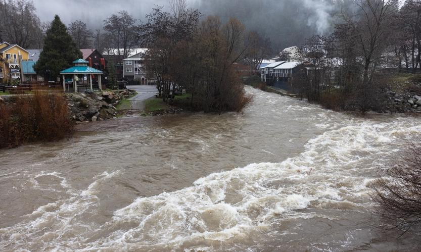
Storms Bring Heavy Rainfall and Local Disruptions →
December 22, 2025
Sierra County faces power outages and water issues amid heavy rainfall and storm warnings.
215 Animals Seized for Cruelty from Grass Valley Property →
December 22, 2025
Human Remains Found Near South Yuba Bridge in March Identified →
December 17, 2025
Transfer Station Burn Suspended After Community Concerns →
December 16, 2025
Sierra Hardware Plans Extensive Repairs After Flood Damage →
December 8, 2025