Six Active Lightning Fires Result From Downieville Thunderstorms
Thunderstorms in Downieville cause power outages and spark five lightning-induced fires in Sierra County.
Updated
UPDATE – 9/4, 3:40 PM: No western Sierra County fires have spread significantly overnight. The Goodyears Fire, Daves Fire, and Rattlesnake Fire were all confirmed to be contained by 10 AM this morning according to the Tahoe National Forest.
UPDATE – 3:07 PM: Additional air attack resources have been requested for the Downie Fire, which is now estimated to be two acres. The Goodyears Fire had hoselay completed by 1 PM.
UPDATE – 9:49 AM: Goodyears Fire upgraded to approximately 3 acers.
UPDATE – 9:42 AM: Two Tahoe National Forest firefighting crews have arrived in Downieville.
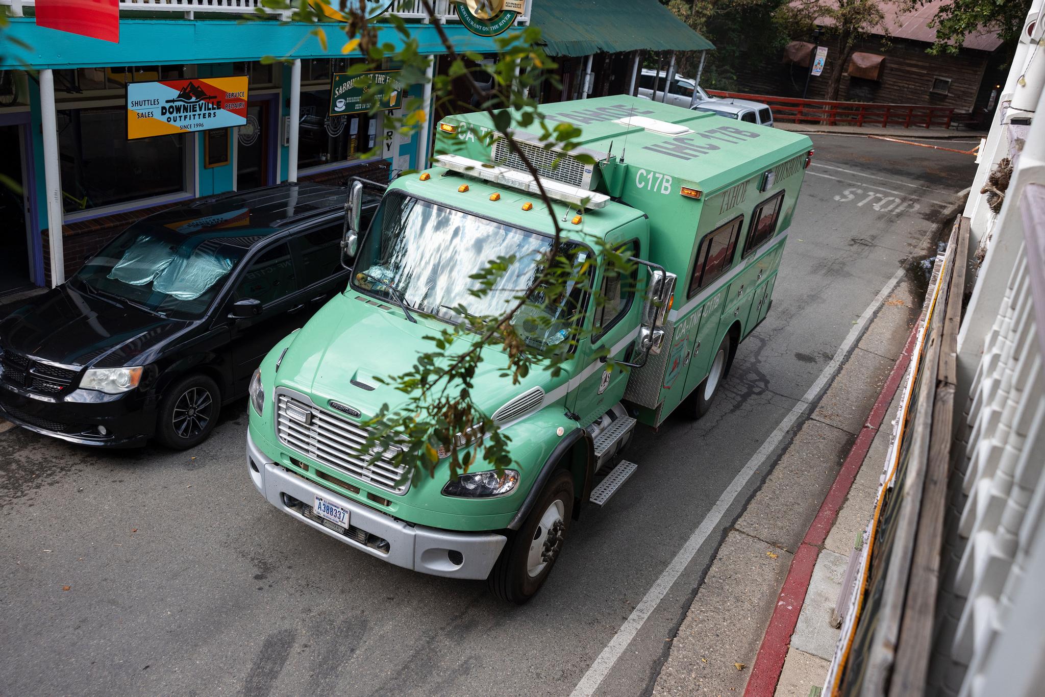
Tahoe National Forest fire crew arrives in Downieville.
UPDATE – 9:30 AM: The half-acre Union Fire has been reported south of Sierra Streamside Cabins.
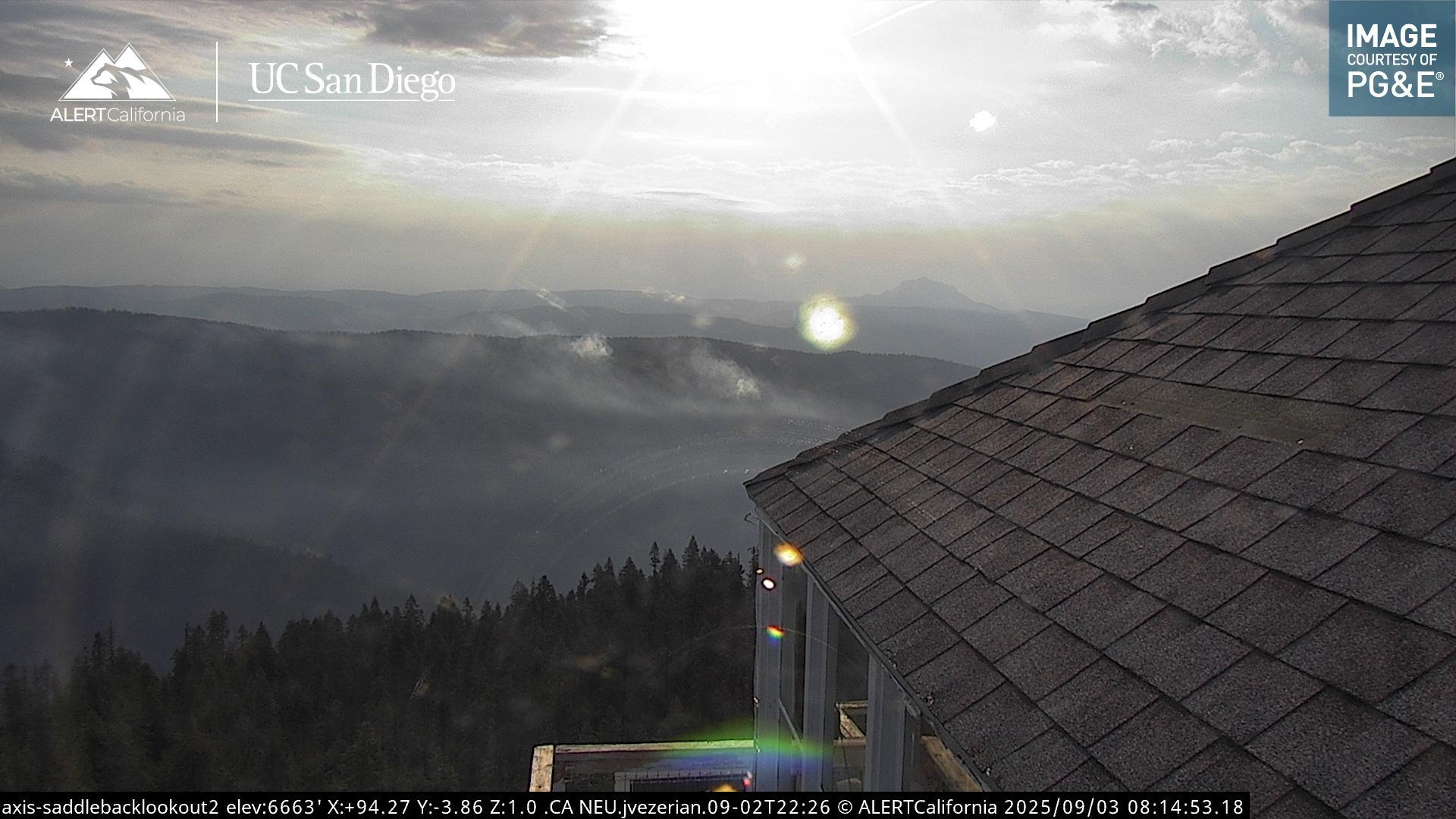
An image of the Lavezzola Fire viewed from the Saddleback Mountain lookout. Photo from ALERTCalifornia camera.
DOWNIEVILLE — A significant thunderstorm hit the Downieville area on the afternoon of Tuesday, September 2. The storm led to a power outage throughout western Sierra County starting at around 4:30 PM. While Downieville’s town-wide generator was switched on Tuesday evening, the outage for the rest of the area has extended through Wednesday morning.
Overnight, at least five fires were sparked by lightning in western Sierra County.
The Goodyears Fire, located just north of Goodyears Bar, reached two acres in size on Wednesday morning, according to the Sierra County Sheriff’s Office.
The Lavezzola Fire, five miles north of Downieville and visible from the Saddleback Lookout ALERTCalifornia cameras, is made up of two distinct small fires. The Lavezzola fire was reported to have burned an acre by Wednesday morning, with air tankers requested around 9 AM.
Also at around 9 AM on Wednesday, the Downie Fire, a 0.5-acre timber-burning fire, was reported by a Forest Service aircraft 2.5 miles north of Downieville.
Also reported was a small vegetation fire in a remote area near American Hill on the Pliocene Ridge, according to reporting by Watch Duty.
At 9:13 AM on Wednesday, another half-acre fire near Goodyears Bar was reported by an aircraft.
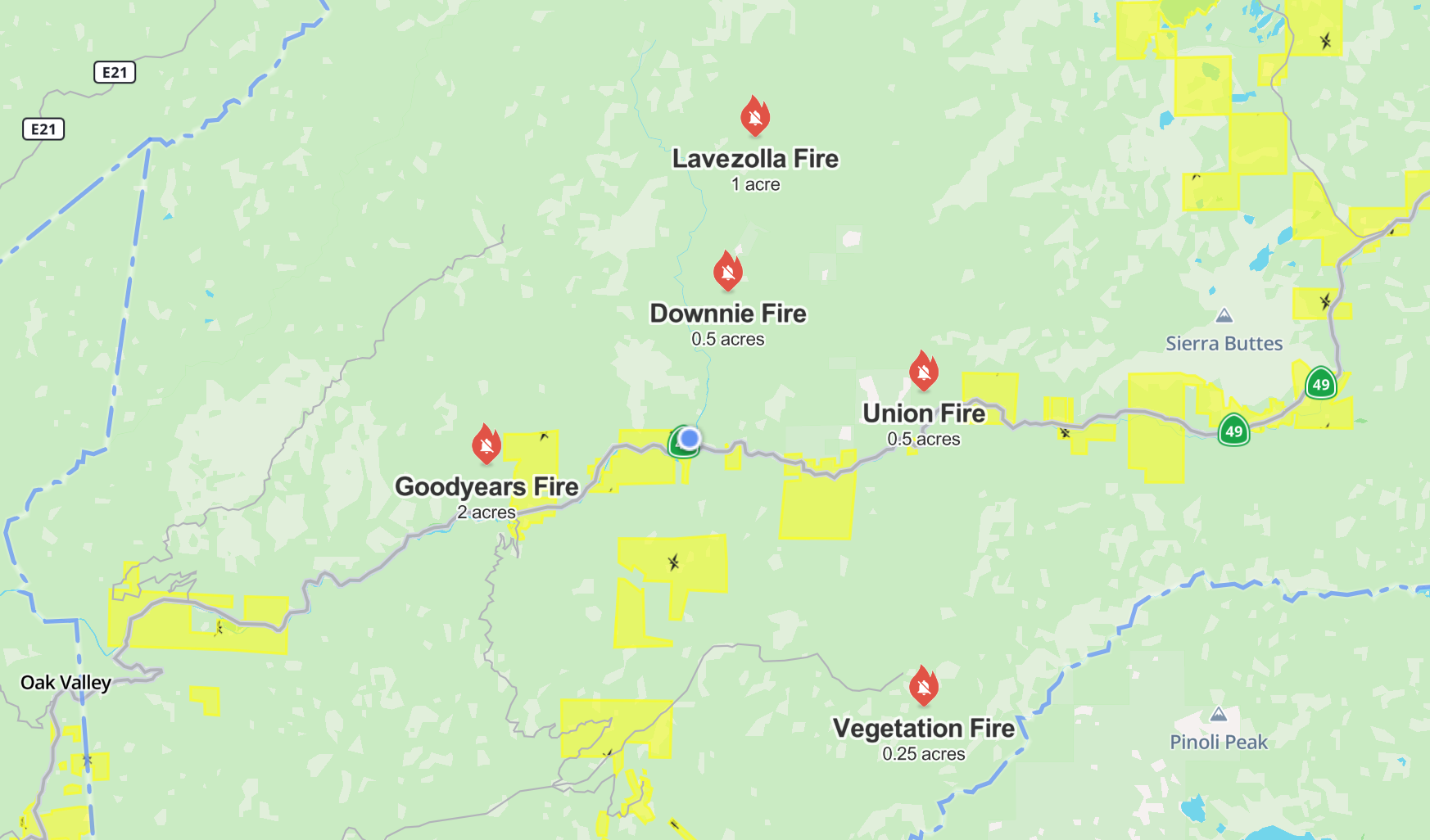
Watch Duty’s Incident Map as of 9:30 AM on Wednesday morning. The central blue dot represents Downieville.
Air tankers have been requested and are currently responding. This article will be updated as more information becomes available.