Loading...
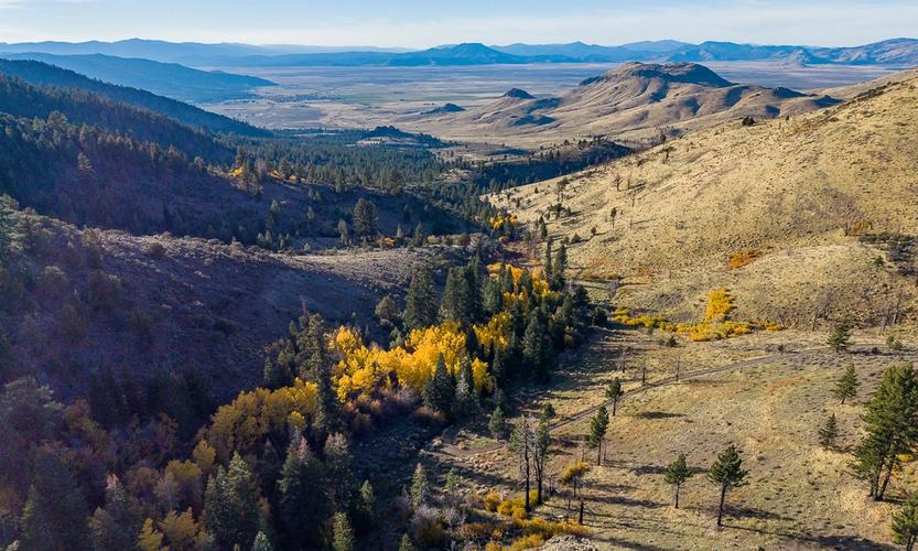
Washoe Tribe Completes Acquisition of Loyalton Ranch
February 11, 2026
State conservation funds and partners helped the Washoe Tribe reclaim ancestral homelands for restoration.
Read article
Recent prescribed burns along Highway 49 aim to reduce wildfire risk and improve forest health.
February 13, 2026
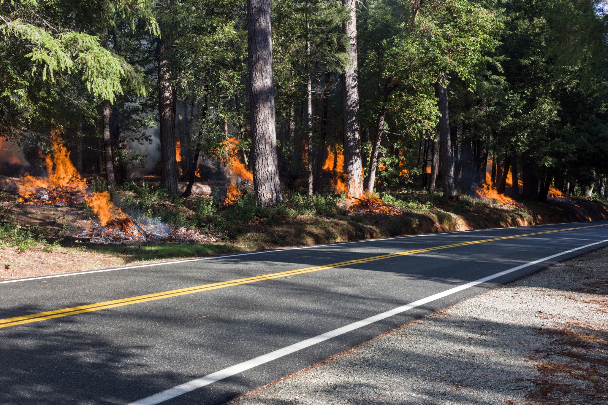
Piles were burned along Highway 49 near Camptonville.
CAMPTONVILLE — The Tahoe National Forest conducted controlled pile burning today on 38 acres east of Camptonville. Some piles were situated directly adjacent to Highway 49 so that burning occurred only a few yards from passing cars. The material being burned is the result of the North Yuba Landscape Resiliency Project, which conducted extensive forest thinning along the highway.
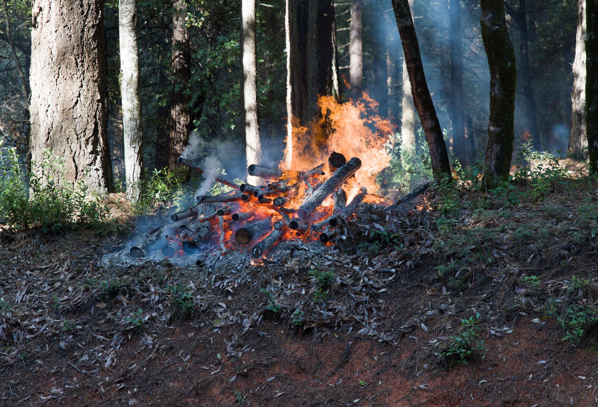
The US Forest Service says conditions were favorable for prescribed burning after recent rains. Prescribed fires follow a burn plan that considers temperature, humidity, wind, vegetation moisture, and smoke dispersal conditions. While the Forest Service issued a notice stating that smoke could affect Camptonville and nearby communities, the impact appeared minimal.
February 11, 2026
State conservation funds and partners helped the Washoe Tribe reclaim ancestral homelands for restoration.
Read article
Local skiers and snowboarders from Truckee-Tahoe compete across multiple events in Italy’s Winter Games.
Read article
Residents now face limited connectivity options as T-Mobile ends roaming-based service in the area.
Read article
Heuer cites health and family priorities as she plans to complete her current term only.
Read article
Lawmakers, ranchers, and environmentalists debate safety, stress, and non-lethal strategies for managing predators.
Read article